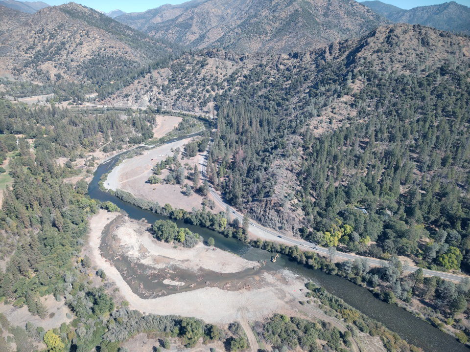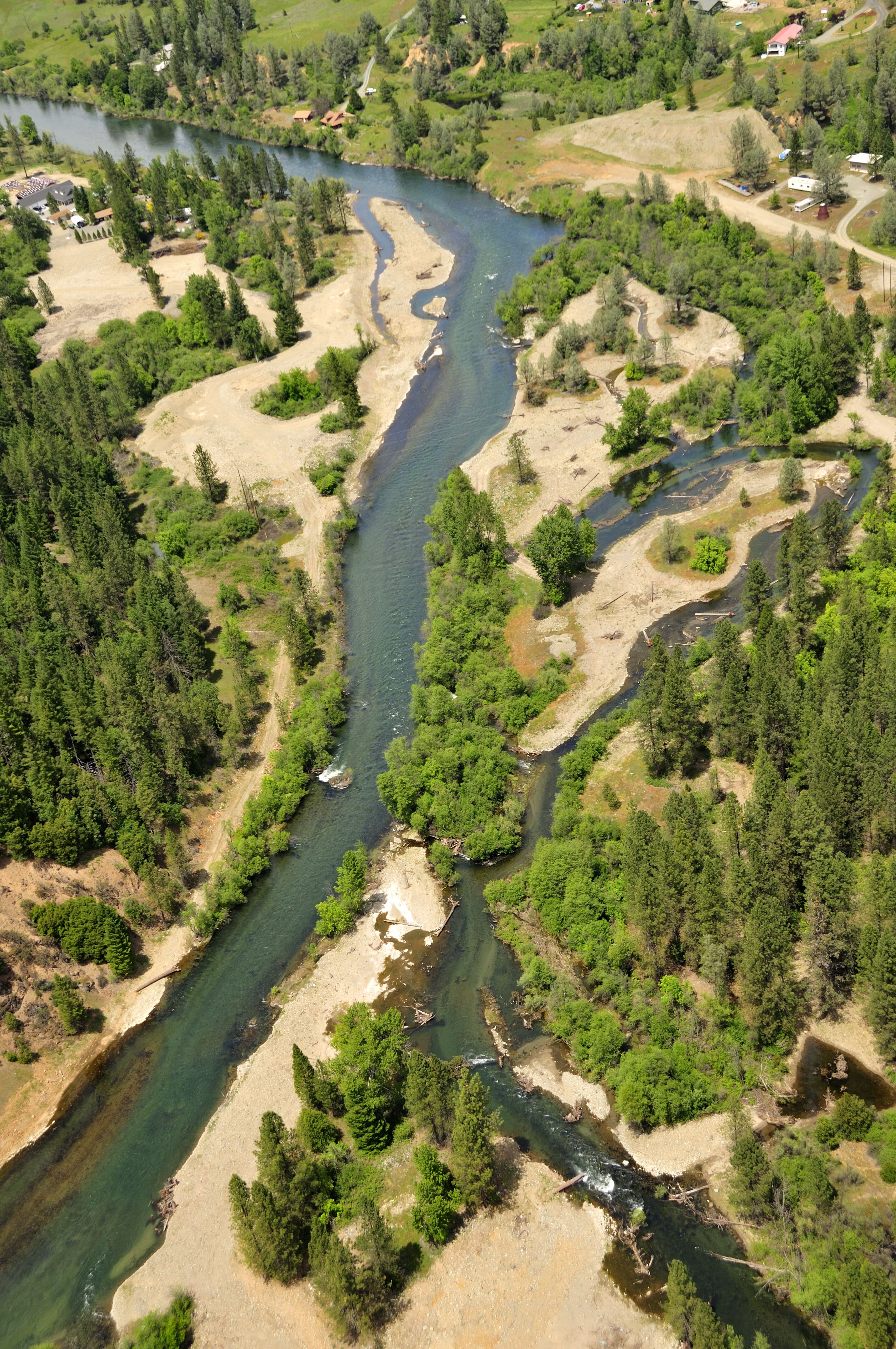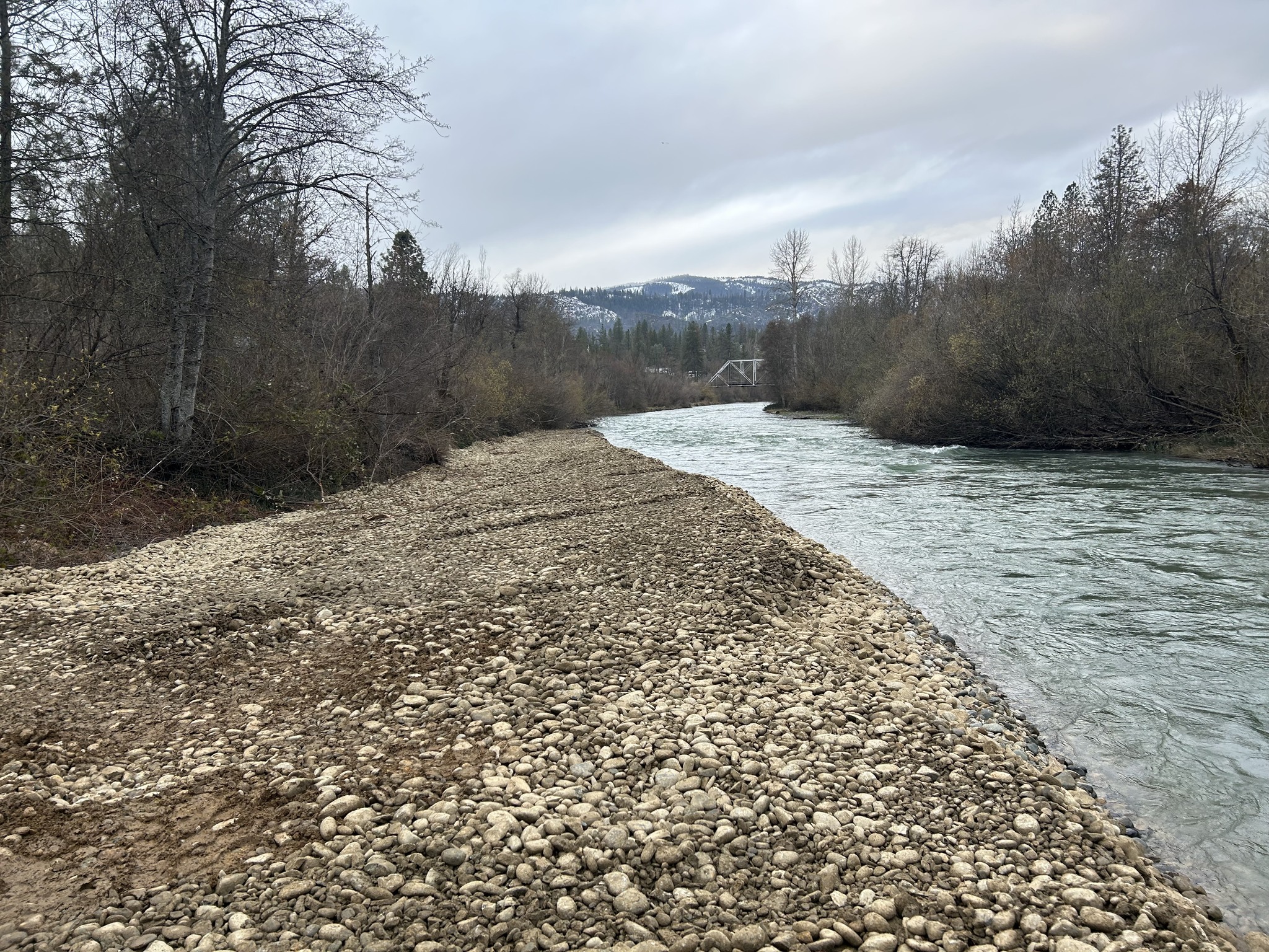
The Trinity River Restoration Program is working on two Trinity River channel rehabilitation projects in 2025; Phase II of the Upper Conner Creek Rehabilitation Project located in Junction City, CA and Phase I of the Sawmill Gravel Processing Site Rehabilitation Project located in Lewiston, CA.
Upper Conner Creek – Phase II
![image of some of the restoration area before construction at Upper Conner Creek phase II in July 2024. [Kiana Abel, Trinity River Restoration Program]](https://www.trrp.net/wordterrain/wp-content/uploads/2025/01/IMG_0512.jpg)
The second phase of the Upper Conner Creek Rehabilitation project includes similar physical habitat improvements constructed under Phase I such as floodplain connectivity, coarse sediment additions and large wood features. Recreational improvements include a new launch ramp and public restroom for the Bureau of Land Management – managed Junction City Campground River Access. Phase II of the Upper Conner Creek will begin in January 2025.
Sawmill Gravel Processing Site

The Sawmill Gravel Processing Site Rehabilitation Project Phase I is another implementation of the mechanical channel rehabilitation component of the Trinity River Restoration Program and is also intended to function in concert with the managed flow and sediment regimes to restore physical habitats that promote the spawning and rearing success of salmon in the Trinity River. As implied in the project name, the focus of the project is to rehabilitate an area that has thus far been used only as a source area and processing site for supplying coarse sediment used in gravel augmentation and channel reconstruction activities elsewhere on the river. Rather than leaving the area disturbed when processing activities conclude, the Trinity River Restoration Program recognized the opportunity to optimize the habitat and ecosystem benefits by developing a rehabilitation design centered on that area.
Environmental Assessments

The Trinity River Restoration Program’s Sediment and Wood Augmentation Environmental Assessment is complete. In addition to multiple existing sites and based on site-specific annual recommendations from the The Trinity River Restoration Program’s Physical Workgroup and Riparian and Aquatic Workgroup, the Environmental Assessment establishes new augmentation sites and allows for sediment and wood placement to address the a shortage of those key ingredients of riverine habitat upstream of Indian Creek.
The new augmentation sites are in the upper reaches of the Trinity River downstream of Lewiston Dam and include Dark Gulch, Trinity House Gulch, Steel Bridge, and Vitzthum Gulch. River corridors which periodically mobilize sediment and large wood perform diverse physical and ecological functions. Contributions to the disturbance regime disperse organisms and provide refugia during baseflow periods and during floodplain inundation events. The Sediment and Wood Augmentation Environmental Assessment is available by clicking below.
In partnership with the US Forest Service’s Shasta-Trinity National Forest and BLM’s Redding Field Office, TRRP is finalizing a Programmatic Environmental Assessment (PEA) to evaluate aquatic habitat restoration activities in the Trinity River watershed. The Watershed PEA analysis will focus on restoration activities that improve the quality and quantity of accessible cold-water aquatic habitat. As a programmatic analysis, watershed restoration projects would be implemented within the Trinity River watershed, in Trinity and Humboldt counties, with site specific surveys and compliance for individual projects tiered to the PEA.
Watershed Grantees
In 2025, the following watershed projects are slated to be implemented.
Salt Creek Floodplain Restoration – The Watershed Research and Training Center
This project aims to improve 2,000 feet of heavily degraded salmonid habitat along Salt Creek, a South Fork Trinity River tributary, by reconnecting the creek to its historic floodplain using engineered and process-based restoration techniques. The project will increase aquifer recharge and storage for slow release to temper a thermal barrier for salmonids, restore geomorphic functions that will improve salmonid spawning gravels, create pools for summer cool water refugia, increase habitat heterogeneity for winter flow high-velocity refugia, and improve native riparian flora, all of which will increase the resilience of aquatic species from the impacts of climate change. Implementation is scheduled for summer 2025 and summer 2026
Upper Hayfork Creek Assessment and Planning Study – The Watershed Research and Training Center
This project will assess over 17 stream miles and 700 floodplain acres within the upper Hayfork Creek watershed, a major tributary to the South Fork Trinity River, to identify restoration opportunities to improve salmonid habitat quality and quantity. The project
will utilize GIS and LiDAR analyses, field measurements of salmonid presence and habitat characterization, and a comparison of ecological flow needs with water availability to produce one Restoration Assessment and Planning document with a priority list of restoration projects and one restoration design to advance toward implementation.
Water Resiliency in the Greater River Trinity Watershed for Aquatic Ecosystem and Human Domestic Needs – The Watershed Research and Training Center
The organization is tasked to plan and implement four storage tank arrays and establish long-term forbearance agreements to reduce annual water withdrawals from key tributaries to the Trinity River during the summer low-flow period. The project will increase the quality and quantity of natural habitats crucial to the survival of anadromous fishes and aquatic organisms in the Trinity River Watershed. Implementation is scheduled for spring 2025.
Weaver Creek Habitat Restoration Implementation – The Yurok Tribe Fisheries Department
The Yurok Tribe Fisheries Department will create instream habitat and develop new floodplain areas along the upper section of Weaver Creek, a tributary to the Trinity River. The project will control the spread of invasive plant species, establish habitat connectivity during summertime baseflow conditions, and support populations of threatened Coho Salmon. The Tribe will construct new habitat features including 4.96 acres of floodplain, 1.23 acres of overflow channels, 0.94 acres of constructed riffles, 0.37 acres of channel fill, and 0.36 acres of low flow channels. These enhancements will increase the structural complexity of the project reach and mitigate the impacts of low flows, which can lead to dry channel conditions on Weaver Creek. The project area is identified in the state and Federal recovery plans for Coho Salmon, which encourage floodplain reconnection and streambed restoration in Weaver Creek. The Yurok Tribe is collaborating with the Nor Rel Muk Wintu Nation, Federal land managers, the Weaverville Sanitary District, and adjacent landowners for this restoration project. Implementation is may be implemented as soon as summer 2025.
