Many Trinity County residents are attuned to the annual water year forecasting prepared by the California Department of Water Resources, also known as the Bulletin 120 or B-120. Every year, the department gathers real time water accumulation information, snowpack data and uses modeling to forecast what to expect for the major snow bearing watersheds in California. The water bean counting starts October 1 (the nominal beginning of California’s wet season) with a final determination April 10 each year. The forecasts are broken up into several regions throughout California with the Trinity River at Lewiston Lake forecast filed under the North Coast Hydrologic Region. The ultimate goal of the B-120 is to value expected amounts of water inflow to storage locations around the state. These data makes it possible for water managers to make local informed decisions about potential floods, the amount of water that can be released from reservoir systems, as well as what type of dry season residents and fire agencies could expect within their regions.
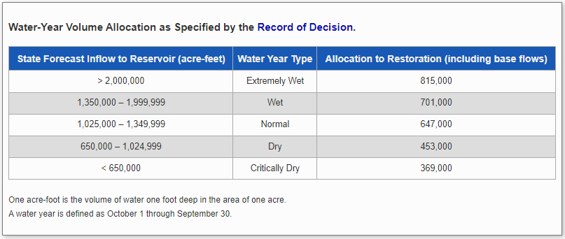
For the Trinity River Restoration Program, the April B-120 forecast determines the water year allocation for our yearly restoration flow releases, which were outlined in the 1999 Flow Study Evaluation and adopted in the 2000 Department of Interior – Record of Decision. These five water year types that determine the amount of water released to the river from year to year are categorized as Critically Dry, Dry, Normal, Wet and Extremely Wet. You can see the relative allocation for restoration purposes in the table below.
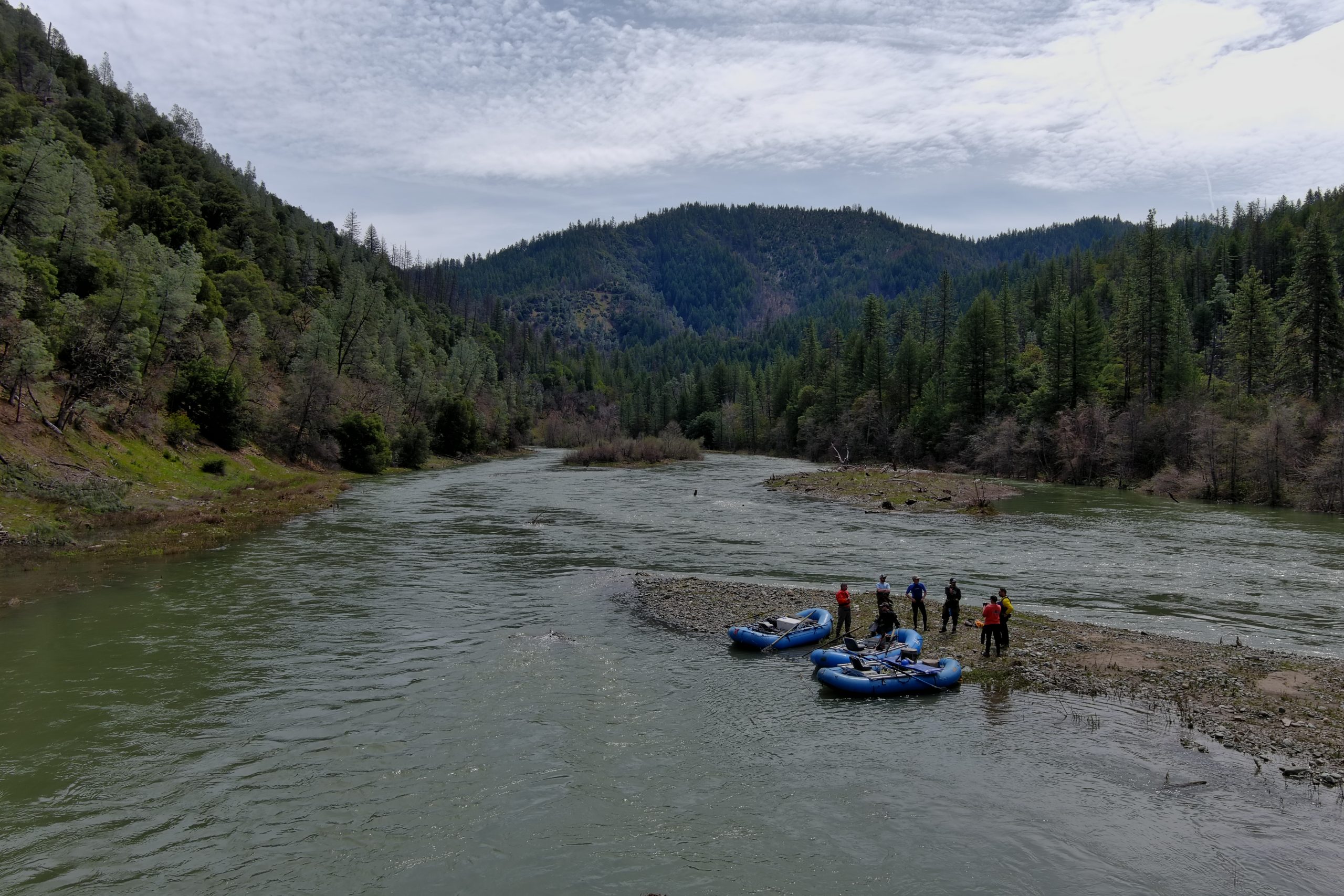
It is interesting to note that the State’s April B-120 has only overpredicted the water year type once, in 2008. Currently the allocation for river restoration is the only conditioned amount of water released from Trinity & Lewiston Reservoir; where the Restoration Program’s yearly allocation is limited by water year type, the Central Valley Project can divert any amount in any water year type, usually diverting less in wetter years and more in drier years. Safety of dams releases and water releases to the Trinity River for ceremonial purposes or for Klamath River mitigation purposes are not part of the restoration release volume.
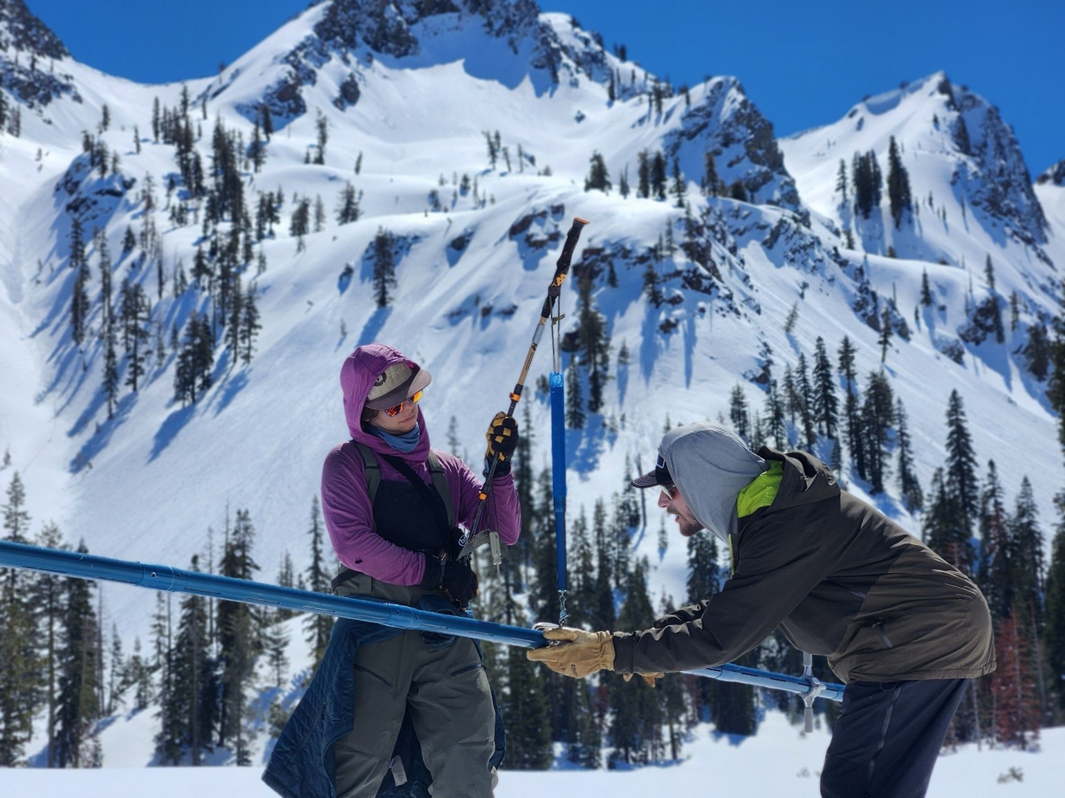
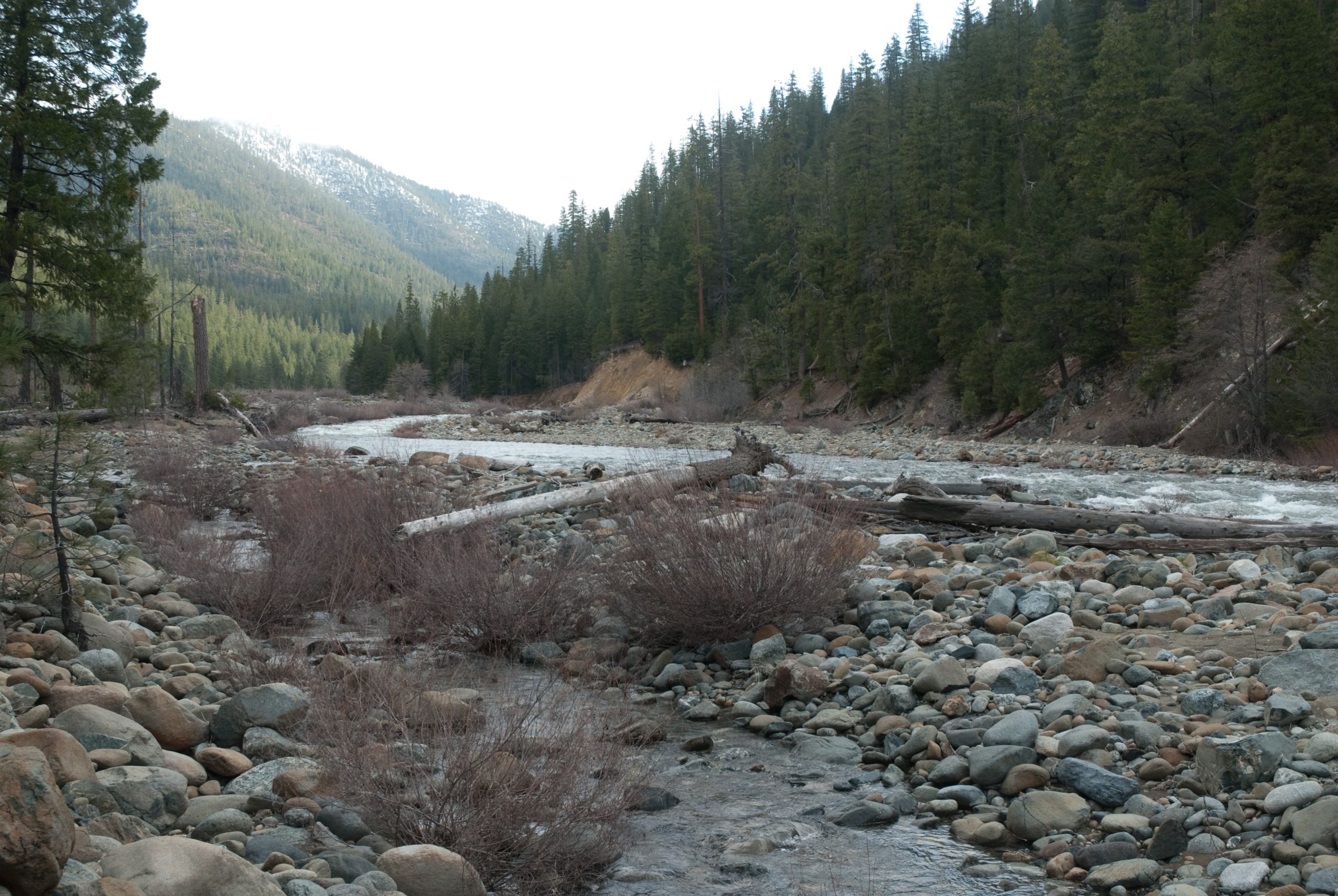
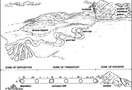
As mentioned above the State’s forecast uses a few different methods to determine how much water to expect as inflow into Trinity & Lewiston Reservoir. The most story-worthy data collection type are the on-the-ground, snow surveys which are conducted during a short window every February, March, April and May. The Trinity Alps snow surveys are led by two agencies: The U.S. Forest Service who motor in via snow Cat to several locations in the Trinity Alps Wilderness, and an expert group of backcountry cross country skiers led by The Watershed Research and Training Center. There are nearly a dozen survey courses established throughout the Trinity River watershed and these sites have been measured in exactly the same locations since the 1940s.
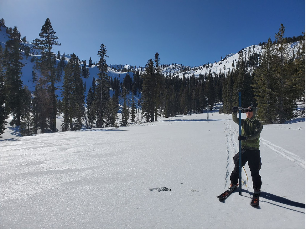
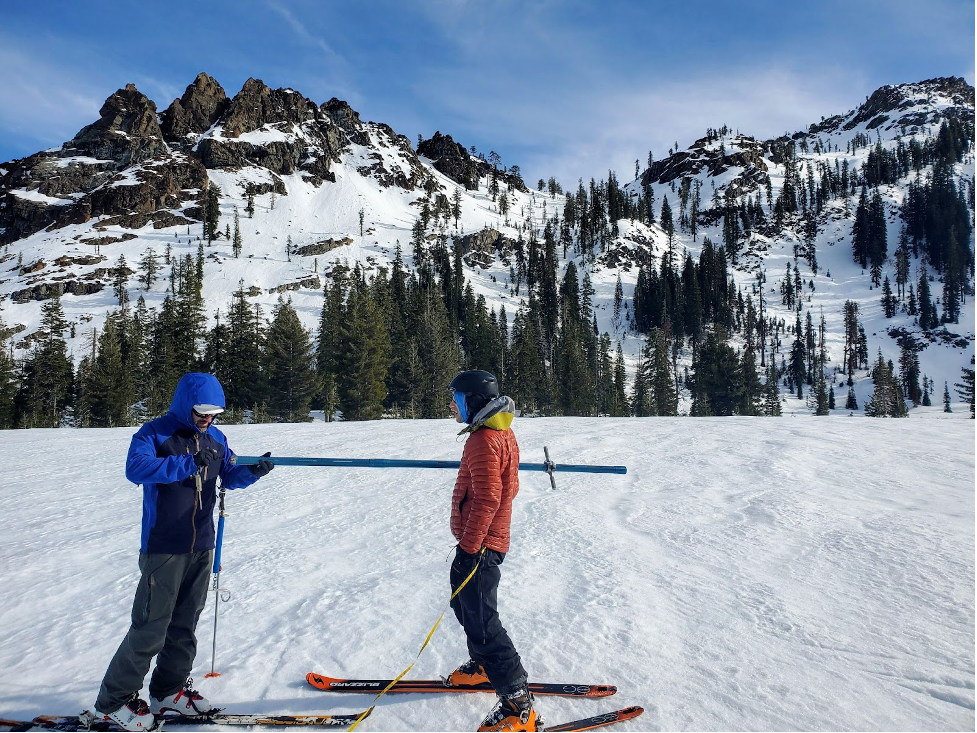
Each year The Watershed Center sends out a small team of between two and four backcountry skiers to travel through the Alps Wilderness and measure snowpack at three survey courses: Shimmy Lake, Red Rock Mountain, and Bear Basin. Once the team reaches a survey location, they drive a specialized aluminum tube tool called the Mt. Rose Sampler, into the snowpack until they hit ground. “It takes a few times to get used to doing it,” says Josh Smith who has been conducting surveys in the Alps since 2011, with the first full recorded season in 2012. The surveyors use the tool to measure the height of the snow, then carefully extract the tube from the snowpack and weigh the snow-filled tube using a handheld scale. These measurements allow the surveyors to calculate the Snow Water Equivalent in designated transects within the three courses for which their team is responsible for. The State uses the hand measurements from the snow survey teams to bolster additional data taken from unmanned sensors located across and just outside of the watershed. These data sources together feed into a model that predicts the volume of water that will flow into Trinity Reservoir that year.
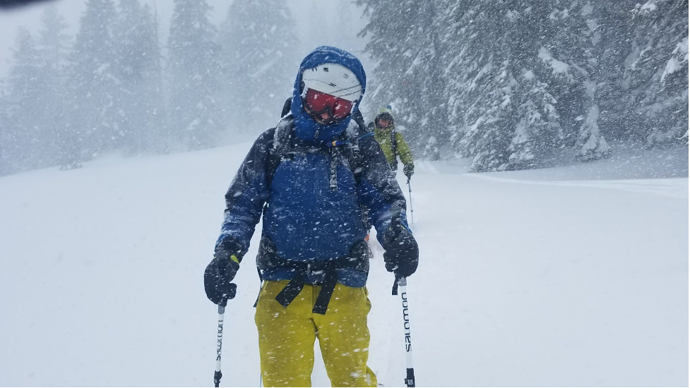
A great deal of preparation and expertise goes into the Trinity Alps Snow Survey and participation is not for the faint of heart. When asked if the survey team has had any injuries Smith explained, “mostly broken will, oh, and lots and lots of blisters.” The crews aim for good weather days but do encounter a variety of winter weather patterns that exemplify California’s highly variable winter weather conditions, including blizzard conditions, wet and heavy snowpack, avalanche conditions, and melting snow that leads to flooding creeks.
“These are not groomed trails, and the crews switch off being the lead – when the snow is deep or heavy it’s not easy breaking trail, so we try and spread out that responsibility, especially when trying to conserve energy throughout the multi-day survey,” explained Smith.
That said, the Watershed Center is looking for local Trinity County residents who believe they have a sufficient mental and physical stamina to participate in this long-standing Trinity County tradition. “We get a lot of calls from people who think this is right for them,” Josh continues, “most people only come out once, and then they are done. It’s a real suffer-fest.”
If you’d like to learn more, please reach out to Josh Smith at the Watershed Training and Research Center by calling (530) 628-4206.


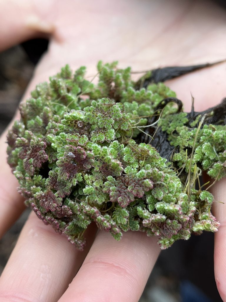
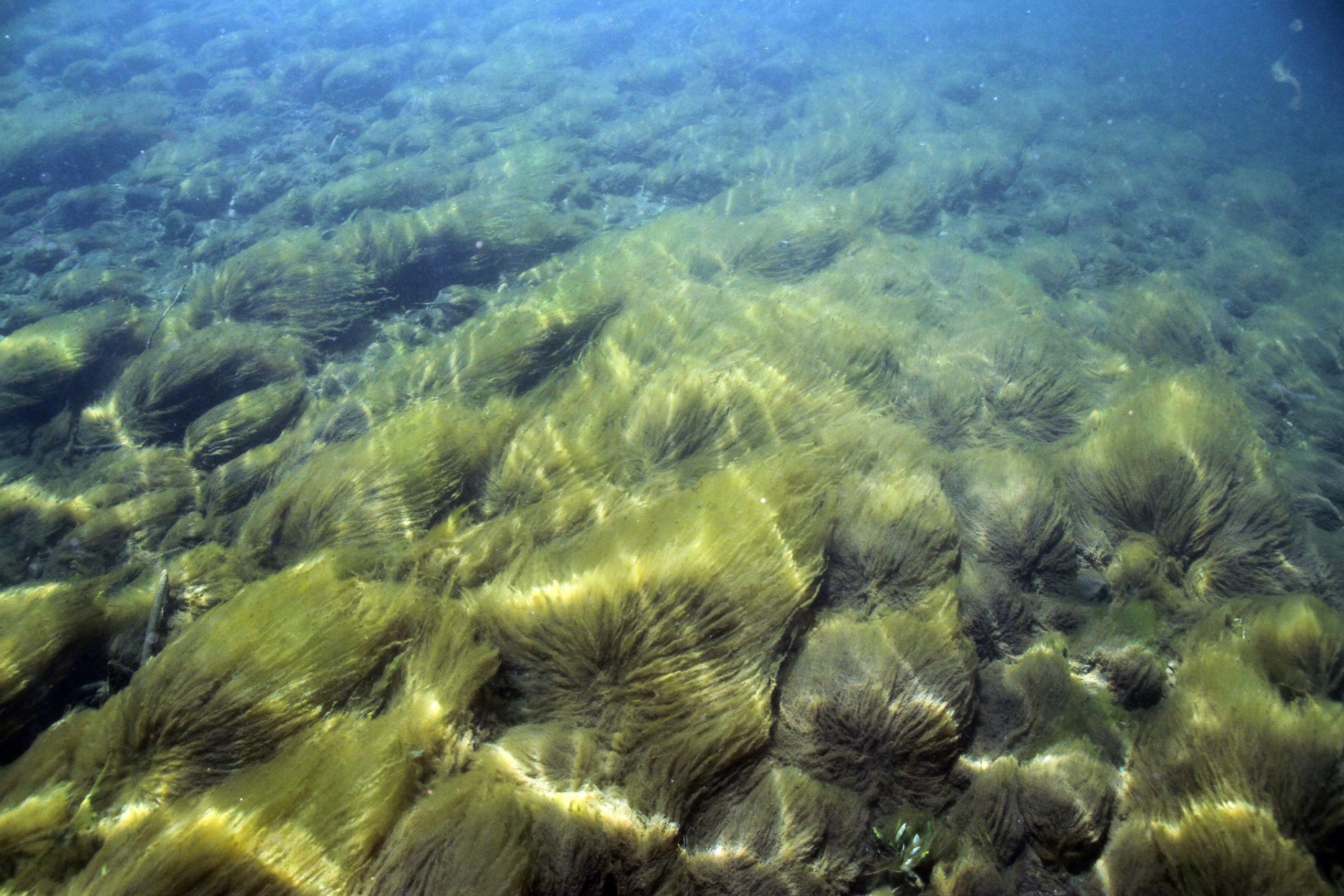
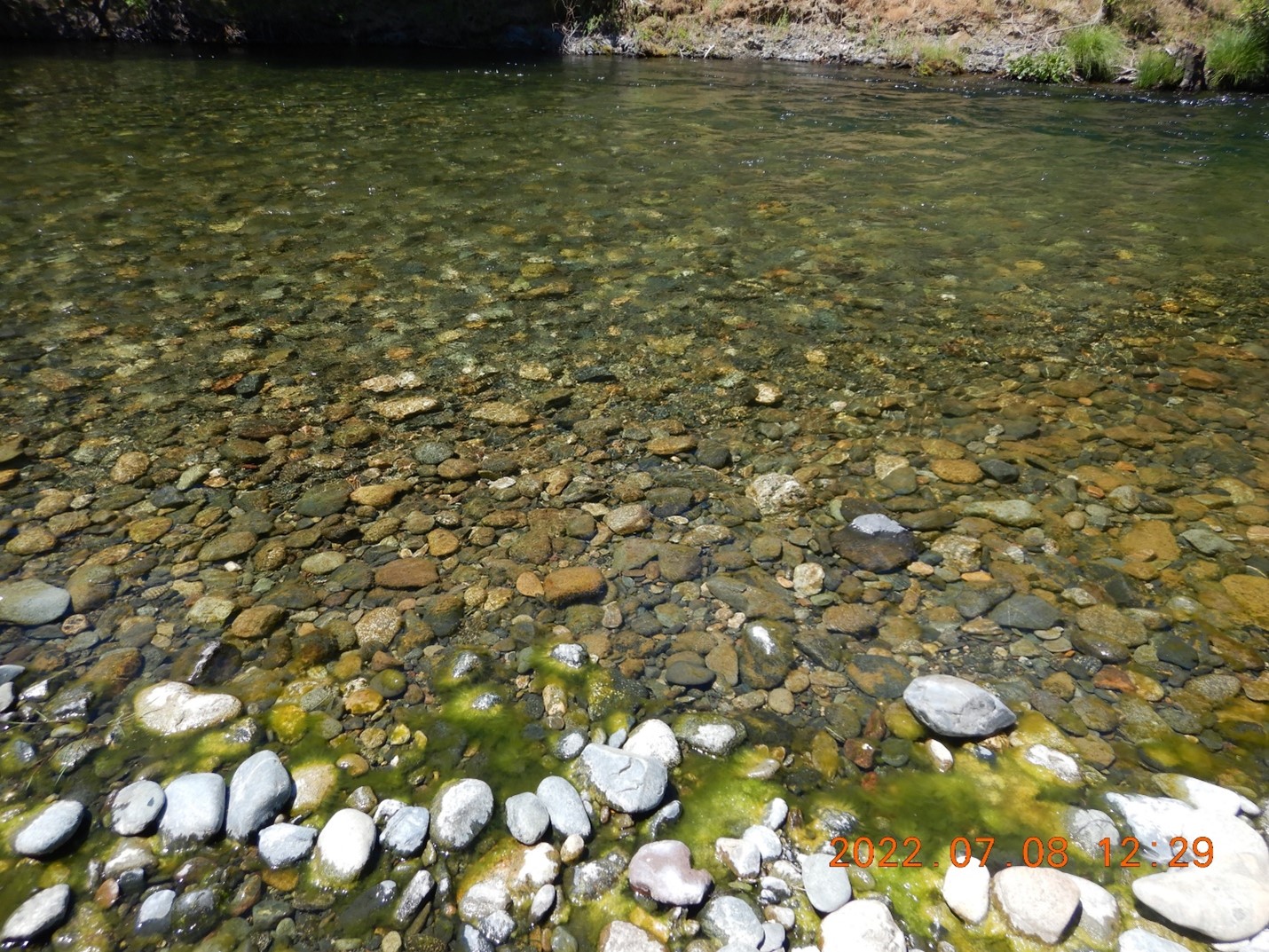
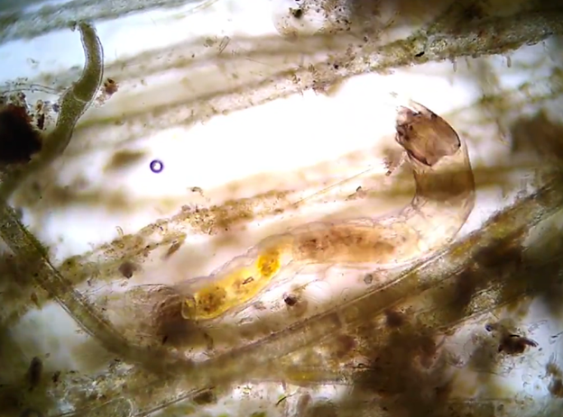
![Cladophora Algae. [Eric Peterson, TRRP/Reclamation]](https://www.trrp.net/wordterrain/wp-content/uploads/2024/01/Cladophora-2-1024x768.jpg)
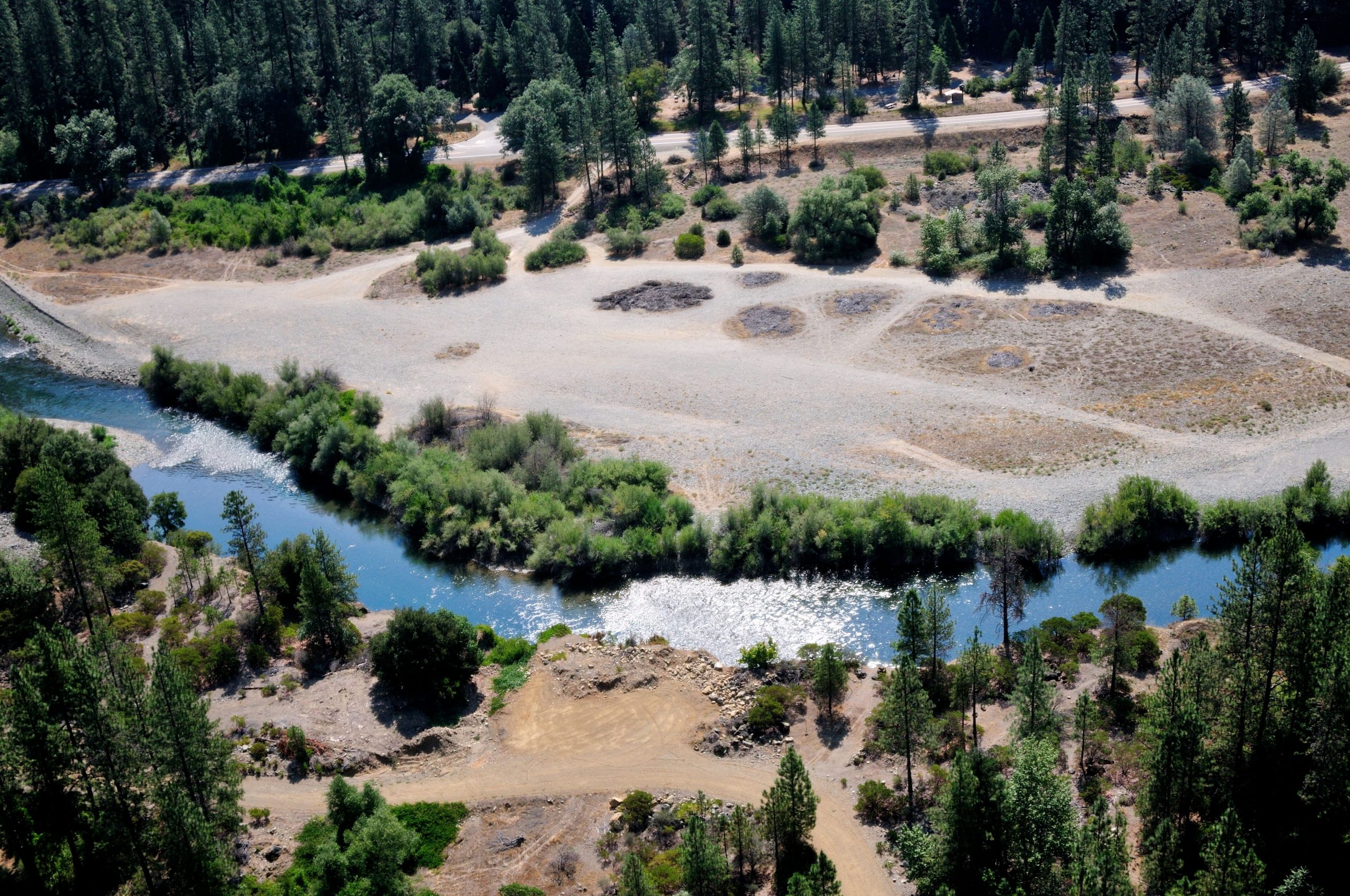
![Aerial image of the proposed Sawmill Gravel Processing site. [Ken DeCamp]](https://www.trrp.net/wordterrain/wp-content/uploads/2023/11/Sawmill-Ken-Decamp-2010-680x1024.jpg)
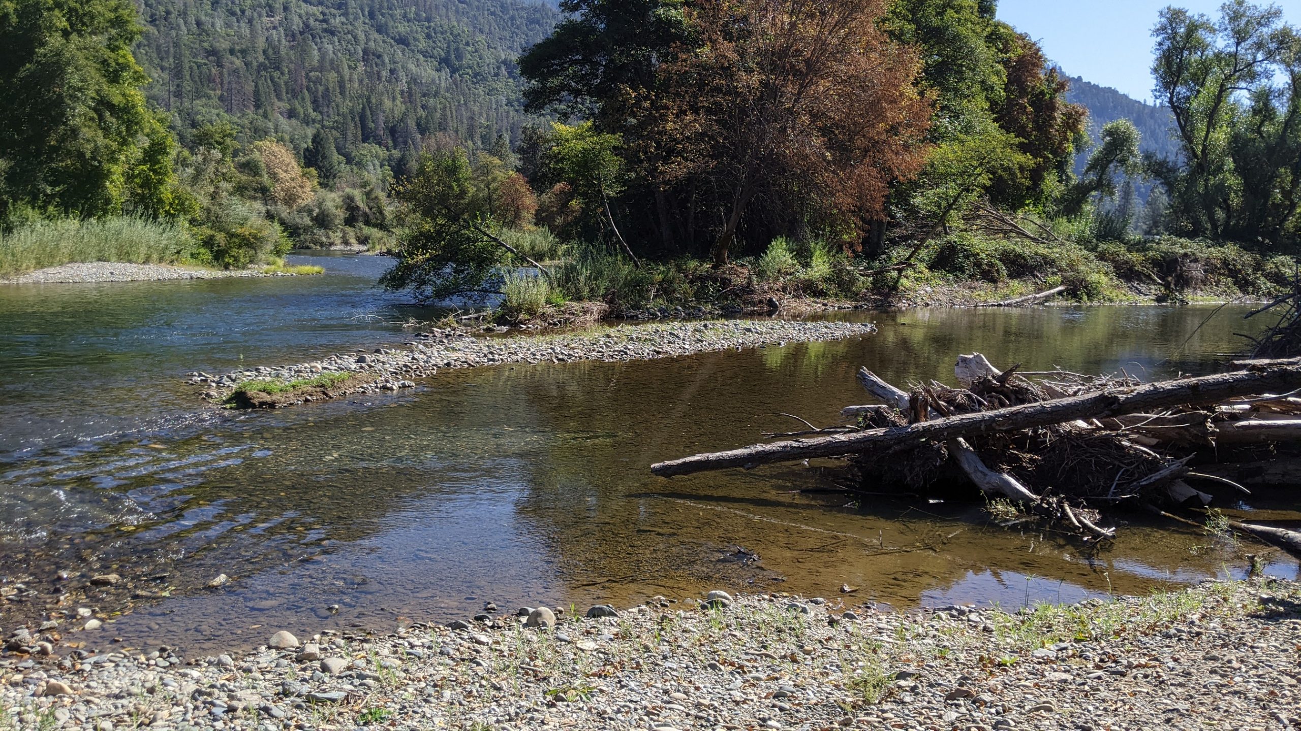
![Restoring the lands that surround the Trinity River is an important part of system restoration. [Trinity County Resource Conservation District]](https://www.trrp.net/wordterrain/wp-content/uploads/2023/11/Picture2-1024x552.png)