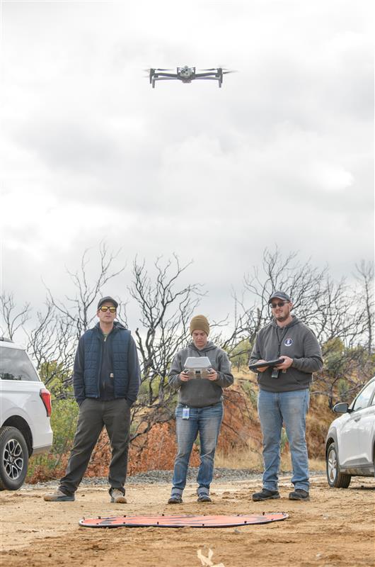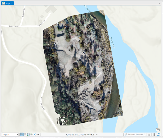
Small Unmanned Aerial Systems (sUAS, UAS, Drones) are becoming a common place and vital tool for natural resource managers across the country. UAS’s provide a nimble, cost effective, easy to employ tool for collecting aerial photography and an array of topographic data. The TRRP and its contractors are increasingly using UAS’s throughout the Trinity River Watershed. While most of the airspace that the TRRP’s drones operate in is uncontrolled public airspace, the restoration program has taken a “Good Neighbor” policy to their use. The TRRP commits to making a reasonable effort to contact private or public landowners within flight plans prior to the flights.
All UAS flights conducted by the TRRP are flown under the Federal Aviation Agency’s Part 107 authorization or other FAA certificate of authorization. If you have questions regarding UAS flights please contact the TRRP office at 530-623-1800.


